There are 24 active users currently online.
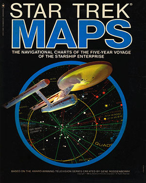
Star Trek Maps
The navigational charts of the five-year voyage
of the Starship Enterprise


Design and Coordination:
Jeffrey Maynard
Technical Direction:
Michael McMaster
Astronomical Art:
Geoffrey Mandel
Manual:
John Upton
Copyright:
1980
Summary:
The navigational charts of the five-year voyage of the Starship Enterprise
Four deluxe wall maps suitable for framing in stellar four color, pinpointing all the Federation Planets, Neutral Zones and beyond. Plus: Official 32 page Technical Manual
Comments
Click on any thumbnail image below to enlarge

MAPS - 12,000 PIXEL VERSION

MAPS - 5,000 PIXEL VERSION

Introduction to Navigation Manual


Download the PDF (81mb)


